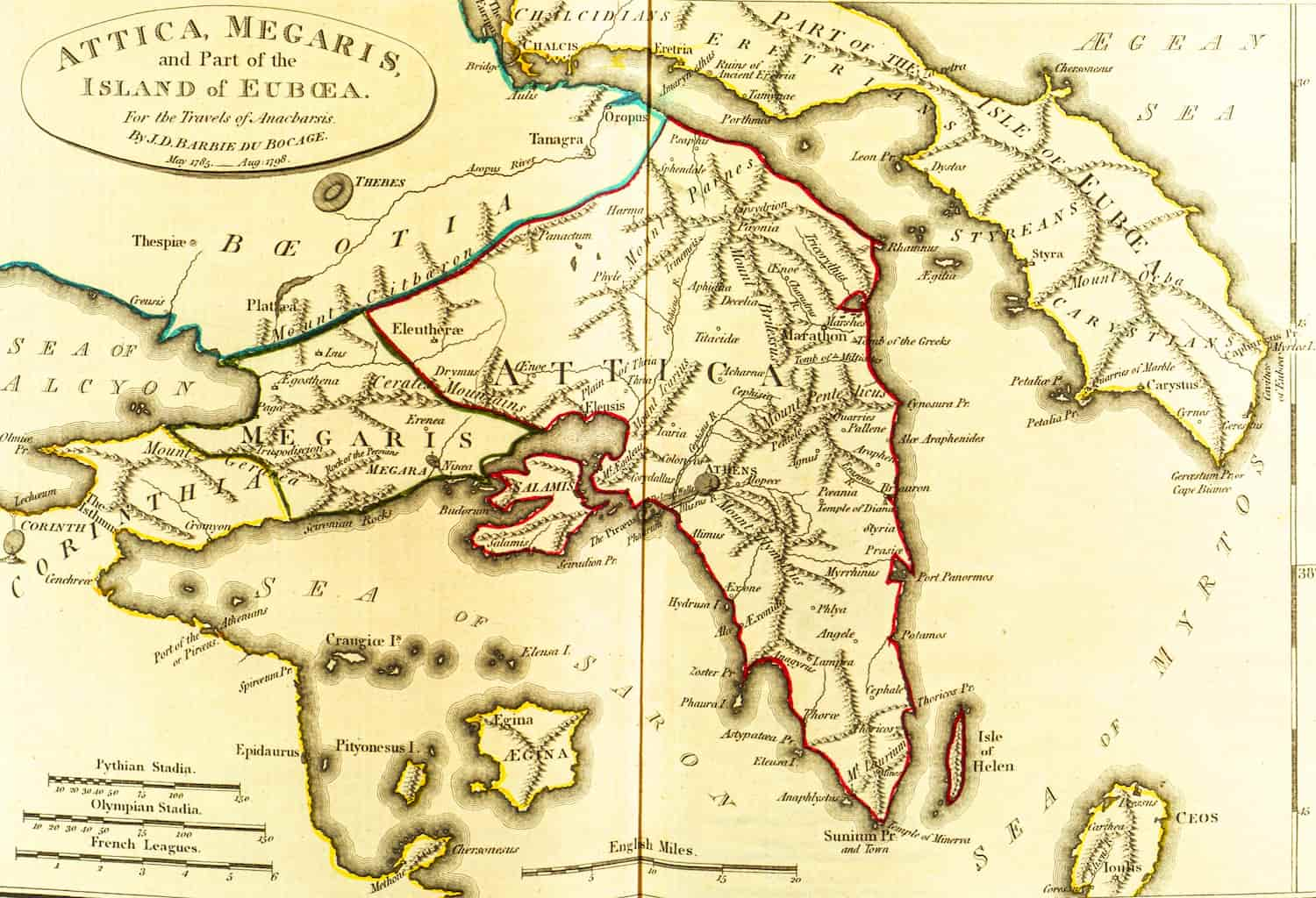
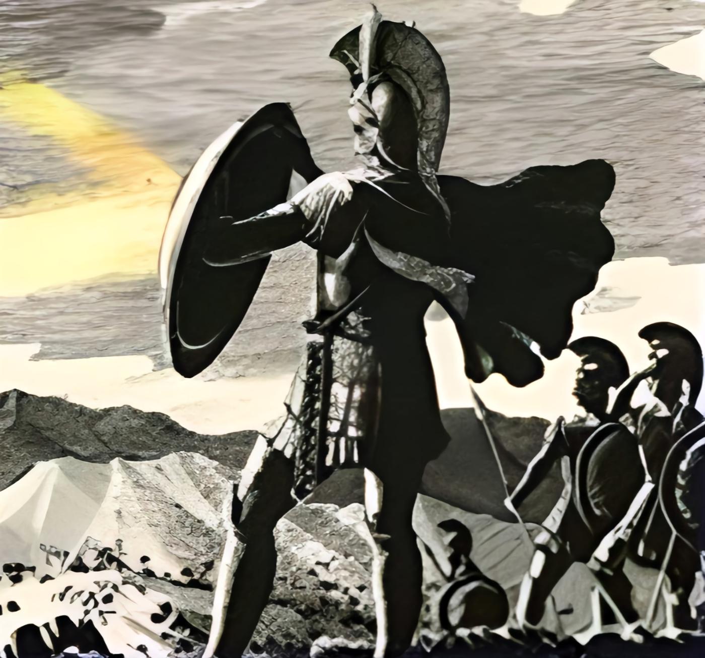
Megaris (ancient Greek: Μέγαρίς) is a historical region in ancient Greece, situated to the northeast of the Isthmus of Corinth. Megaris bordered the lands of Corinth (to the south), Boeotia (to the north), and Attica (to the east). Megaris was a small region in Central Greece, directly adjacent to the Isthmus of Corinth on the southwest. It extended between the Saronic Gulf to the south and the Alcyonian Bay of the Corinthian Gulf to the northwest. The northern boundary of Megaris with Boeotia was formed by the main ridge of Cithaeron, while the northeastern boundary with Attica was marked by one of its spurs ending near the shore of the Saronic Gulf with two peaks known as the Cerata.
Geography
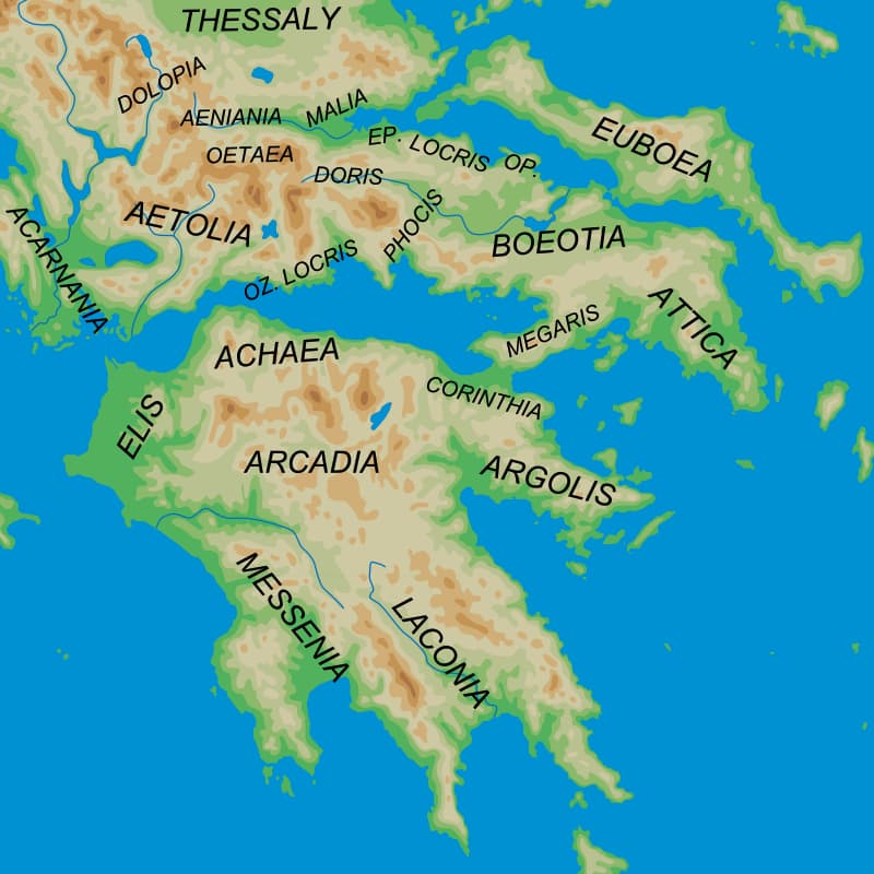
Almost the entire country was dominated by a massive mountain range, the main part of which, covering the western portion of Megaris and reaching a height of up to 4430 feet, was anciently called Geraneia (Greek: ή Γεράνεια or Geraneia, “Crane Mountains”), now known as Makri Plai. To the west of Geraneia, Onoe-Dry separated itself, forming a peninsula that extended far into the Corinthian Gulf and was called Pieria (or Piraeus, Greek: ή Πειραία). Only in the eastern part of Megaris, between Geraneia and the Cerata Mountains, was a small plain, where the main city of Megara (capital) was situated on two hills.
History
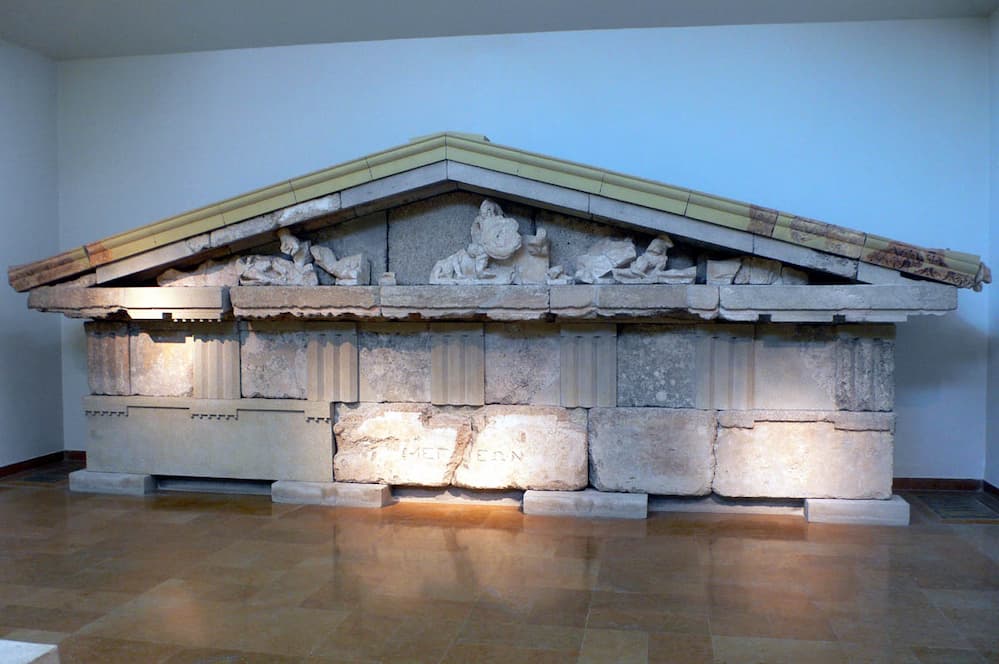
In the early history of the region, the borders of Megaris were not fixed. During the time of its greatest territorial expansion, it included Megara, Nisea, Peraea, Crommyon, Tripodiscus, Pagae, and Egosthena, possibly Eleusis. In the 8th century BCE, Peraea and Crommyon came under Corinthian control, and in the 7th century BCE, Eleusis was finally annexed to Athens, becoming part of Attica.
According to myths, the first inhabitants of Megaris were the Carian tribes, later followed by the Leleges, who were in turn displaced (and partially assimilated) by the Ionian Greeks. In the 11th to 10th centuries BCE, Megaris was conquered by the Dorians, but the Ionian population remained in place, gradually blending with the newcomers. The region continued to be considered Dorian, but with a strong Ionian influence in culture and language.
In the 9th century BCE, Megaris came under the rule of Megara, and the tribal leadership of smaller settlements was incorporated into the Megarian aristocracy. It served as a crucial link between Central Greece and the Peloponnese and suffered significantly during the Peloponnesian Wars between the Athenians and Phocians. Despite numerous wars and occupations, the unity of Megaris persisted until 192 BCE, when the Romans declared some of its settlements independent participants in the Achaean League. However, in 146 BCE, the entire region was transformed into Roman territory. In the Middle Ages, Megaris typically joined administrative and state unions with Athens, and it gradually began to be considered the western part of Attica.
Economy
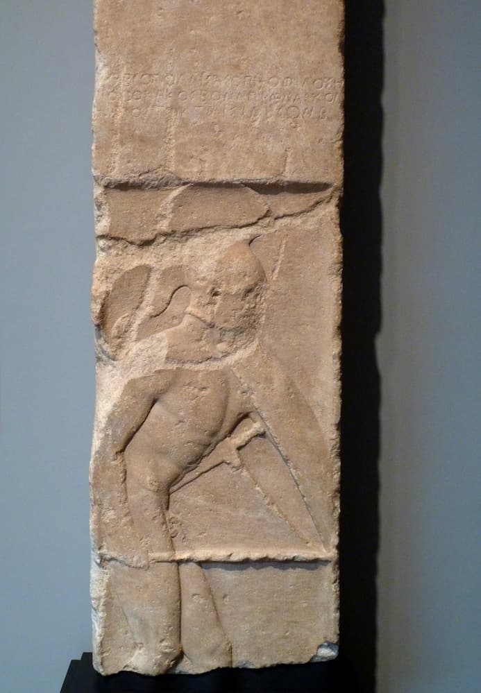
Economically, besides Megara with its convenient harbor Nisea, the cities of Pagi (Pagae or Παγαί) and Egosthena on the western coast were known for their harbors. Even the Athenians, who often clashed with the Megarians and considered them rough, uneducated, cunning, and treacherous, acknowledged the industriousness of the people of Megaris and their achievements in navigation.
At the same time, Megaris lacked convenient internal communication routes. Three roads, one along the rocky and mostly inaccessible western coast, another winding through the mountainous middle of the region, and the third along the eastern coast, were equally challenging and could easily be blocked during storms and military conflicts.
The last of the three roads held the most significance, leading through Megara and its plain from one side to Attica and from the other to the most convenient pass over Cithaeron and from there to Phocis. However, in its western part, the road ran along almost perpendicular cliffs of the mountain range, turning into a narrow path. Megarian Polemarch Skiron slightly widened it, but even in the classical era, the path was considered very perilous and traversed on foot. Only during the time of Hadrian was the road reconstructed to make it accessible to contemporary transportation.
Who Were Megarians?
The Megarians were the inhabitants of ancient Megara, an ancient Greek city-state located between Attica and Corinthia. Megara covered the land between the Corinthian Gulf and the Saronic Gulf, giving it the advantage of access to two different seas. The sea was the only outlet for the Megarians as they were surrounded by powerful neighbors, the Athenians to the east and the Corinthians to the west. This geographical constraint led them to establish numerous and distant colonies, mainly in eastern Thrace, the Propontis, the Black Sea, and Sicily.
Their History
The Megarians were of Dorian origin and spoke the Doric dialect. They settled in the Megaris region during the Dorian invasion, displacing earlier Ionian and Boeotian populations that were already established in the area.
During the Archaic and Classical periods, their dominance included five settlements or villages: Megara in the center of the region, Nisaea on the shores of the Saronic Gulf, Pegae on the shores of the Corinthian Gulf, Tripodiscus in the Geraneia Mountains, and Aegosthena at the foot of Mount Cithaeron.
In subsequent years, the Megarians came into conflict with their neighbors, initially with the Corinthians in the 8th century BCE and later with the Athenians in the 6th century BCE. The source of their dispute with the Athenians was the island of Salamis, which the Megarians held from around 640 to 570 BCE. After a twenty-year war between the Athenians and the Megarians, Salamis returned to Athenian control. During the second Greek colonization, the Megarians founded numerous colonies, especially in the Propontis and the Black Sea, including Byzantium, Chalcedon, and Nicomedia.
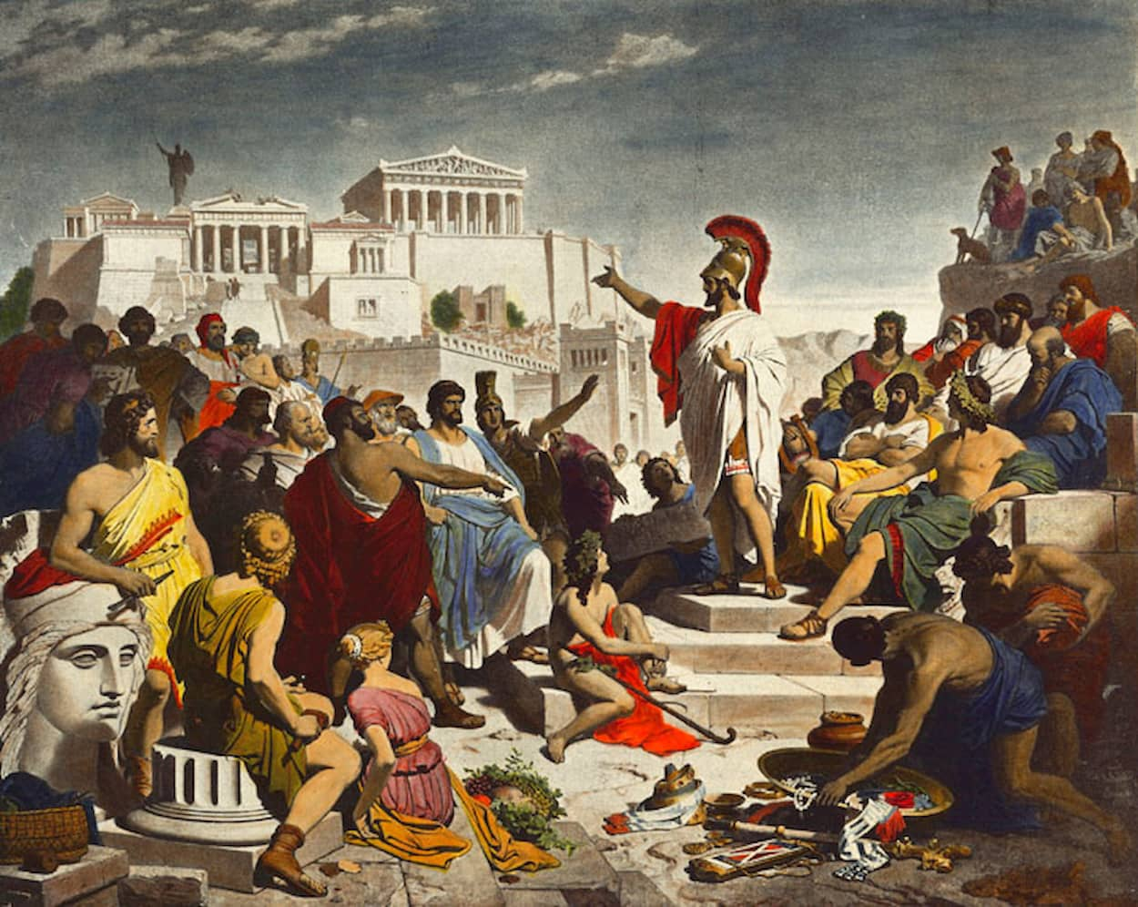
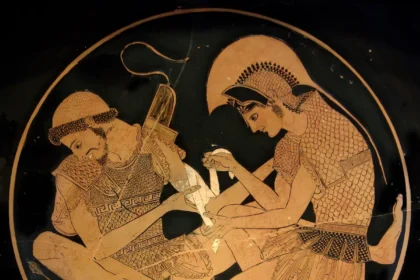
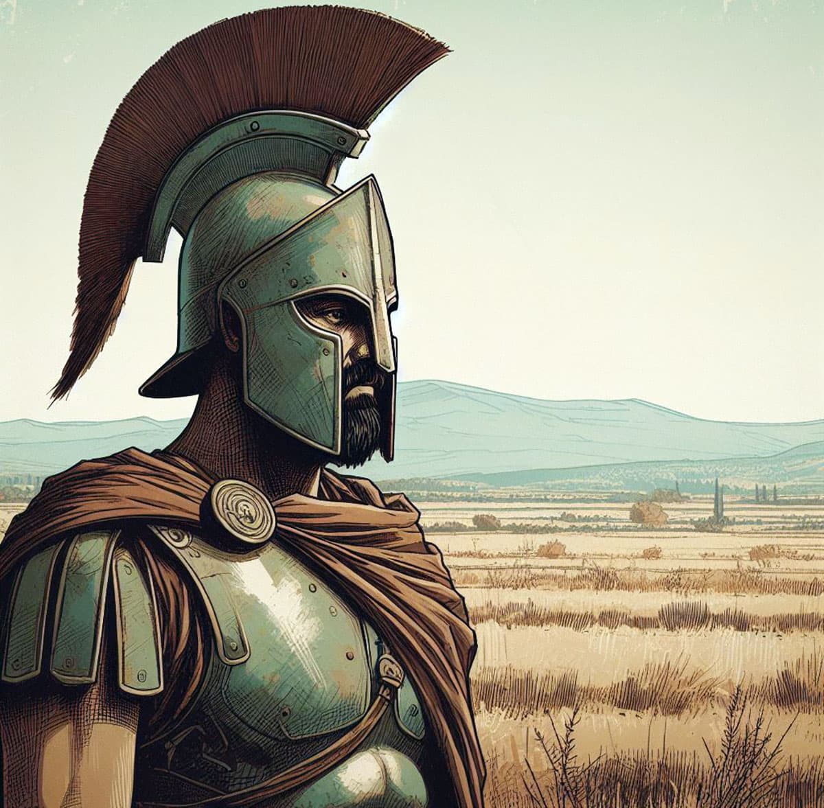
During the Persian Wars, the Megarians allied with the rest of the Greeks against the Persians. They participated in the naval battle of Salamis with 20 ships and in the Battle of Plataea with 3,000 hoplites. In the following years, the Megarians faced intense competition from Athens in the trade of the eastern Mediterranean and the Black Sea. This competition peaked with the “Megarian Decree” issued by Athens, becoming one of the main causes of the Peloponnesian War. During the Peloponnesian War, Megara allied with Sparta. In the years following the end of the Peloponnesian War, Megara lost much of its power, was limited to a local role, and observed events in the Hellenic world without substantial involvement.
The Cities of Megara
Apart from Megara, the other significant cities in Megaris were Nisaea, Pegae, Aegosthena, and Tripodiscus. For a period, they also controlled Heraion, contested by the Argives and Corinthians but eventually falling under Corinthian control. Nisaea was situated on the shores of the Saronic Gulf, close to the city of Megara, essentially serving as Megara’s coastal region on the Saronic.
In contrast, Pegae was located on the shores of the Corinthian Gulf, constituting Megara’s northern coastal region. Nisaea was near present-day Pachi, and Pegae was built in the area now known as Alepochori. Further east, at the foot of Mount Cithaeron, in the location of present-day Porto Germeno, was Aegosthena. This city was close to Boeotian Thespiae and Athenian Oenoe. To the west, on the border with the Corinthians, was Tripodiscus, a mountainous city built on the eastern slopes of Geraneia, possibly near the present-day location of Hani.
The Colonies of the Megarians
Due to limited space and pressure from powerful neighbors, the Megarians resorted to founding numerous colonies. During the second Greek colonization period, the Megarians established many colonies in Eastern Thrace, the Propontis, the Black Sea, and Sicily. In Sicily, they founded the first colony, Megara Hyblaea, followed by Selinus and Heraclea Minoa. In Eastern Thrace, the most significant Megarian colonies were Selymbria, Mesembria, and Nauplchoi on the shores of the Black Sea, as well as Byzantium, which evolved into the capital of the Byzantine Empire at the Bosporus Strait.
Opposite Byzantium, the Megarians founded Chalcedon, and on the southern shores of the Black Sea, they established the notable colony of Heraclea Pontica.
On the shores of the Propontis, they founded Astacus, which developed into a strong city overtime under the name Nicomedia. The Megarians also colonized the distant Crimea Peninsula, establishing the cities of Chersonesus Taurica and Callatis in present-day Romania.
Significant Megarians
Many significant personalities of ancient Greece originated from Megara, including the eminent engineer Eupalinos, whose notable work was the Eupalinian aqueduct in Samos. The philosopher Euclid the Megarian and the renowned elegiac poet Theognis the Megarian also hailed from Megara. Additionally, the great Latin epic poet Virgil passed away in Megara.


